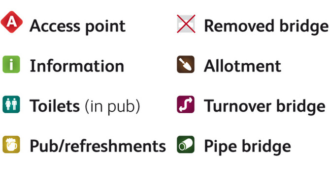
Our latest piece of print is an illustrated canal trail guide for Groundwork Coventry & Warwickshire. We designed simple, informative icons along with more descriptive illustrations of the various points of interest along the route. The resulting map is appealing, understandable – and even has a dash of humour.
We created an almost cartoon-like illustrative style to depict some of the features of interest, as well as the local flora, fauna – and public houses! A simple key was created, with easy-to-distinguish, colour-coded icons and the map itself was designed to be used rather than solely to look good.
As the trail guide is intended as a handy resource for walkers, the descriptive text and feature illustrations are carefully aligned, meaning related bits of information are visible even when the map folds down.
And incase you need a bit of persuasion to go for a canalside stroll in this chilly weather, the trail itself is bookended by traditional, country pubs …


